City Creek at Folsom Trail
Revitalizing a rail corridor into a thriving ecosystem & community connection.
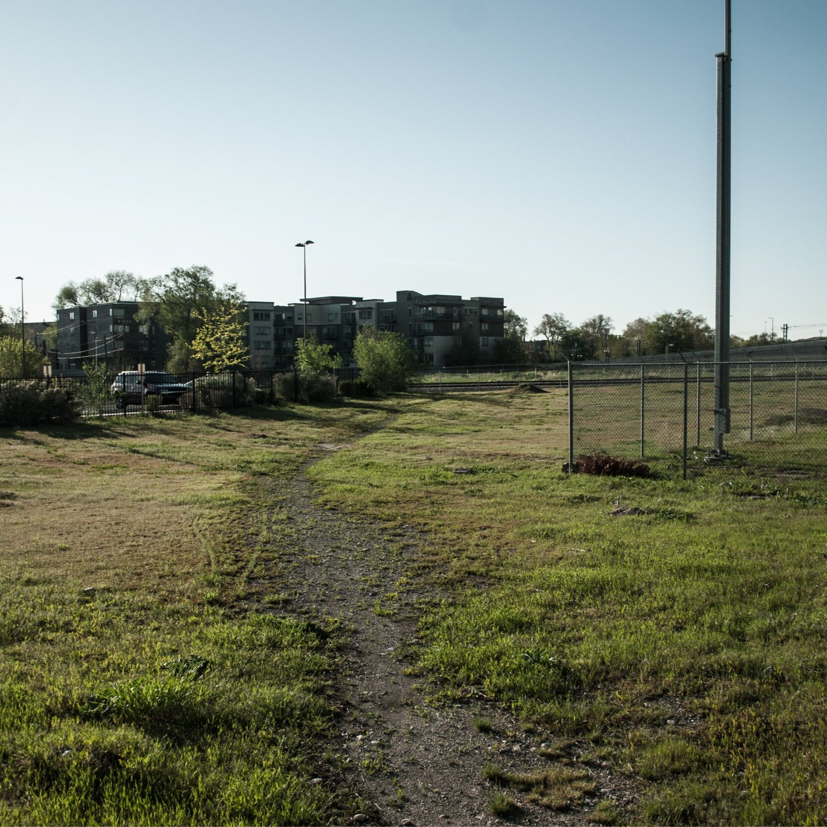
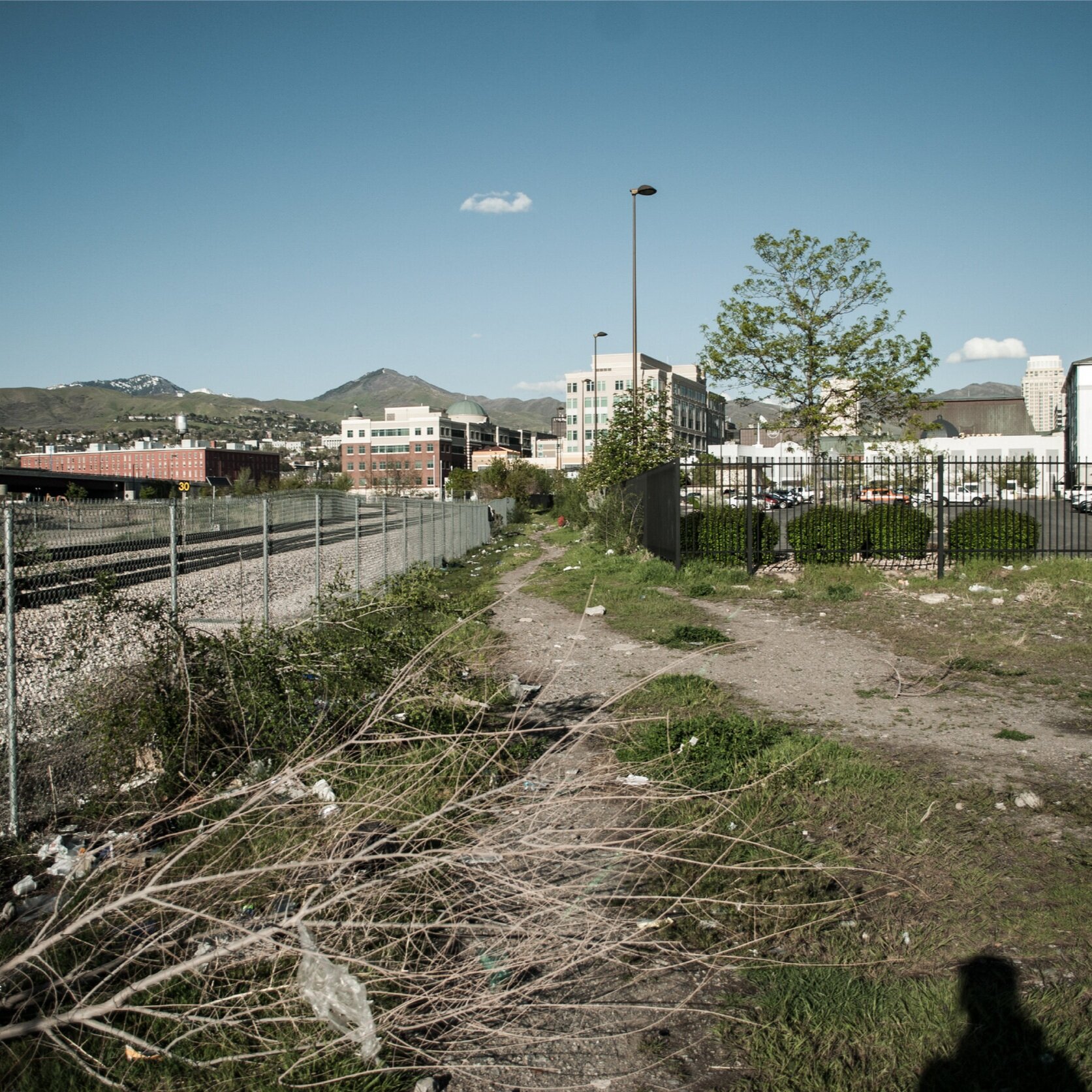
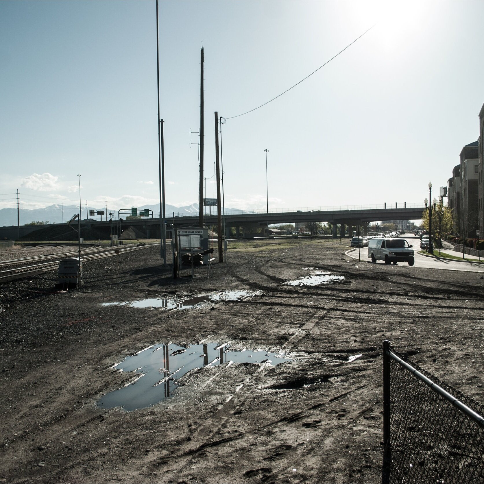
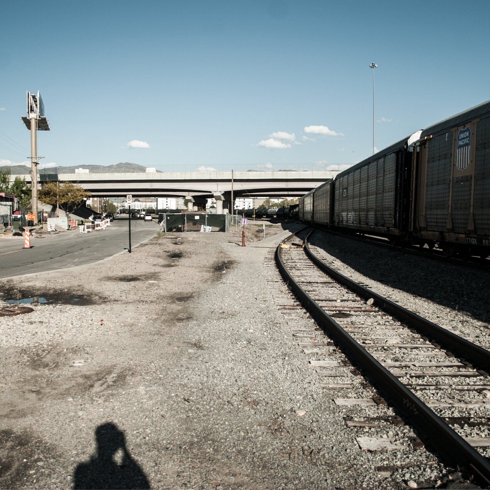
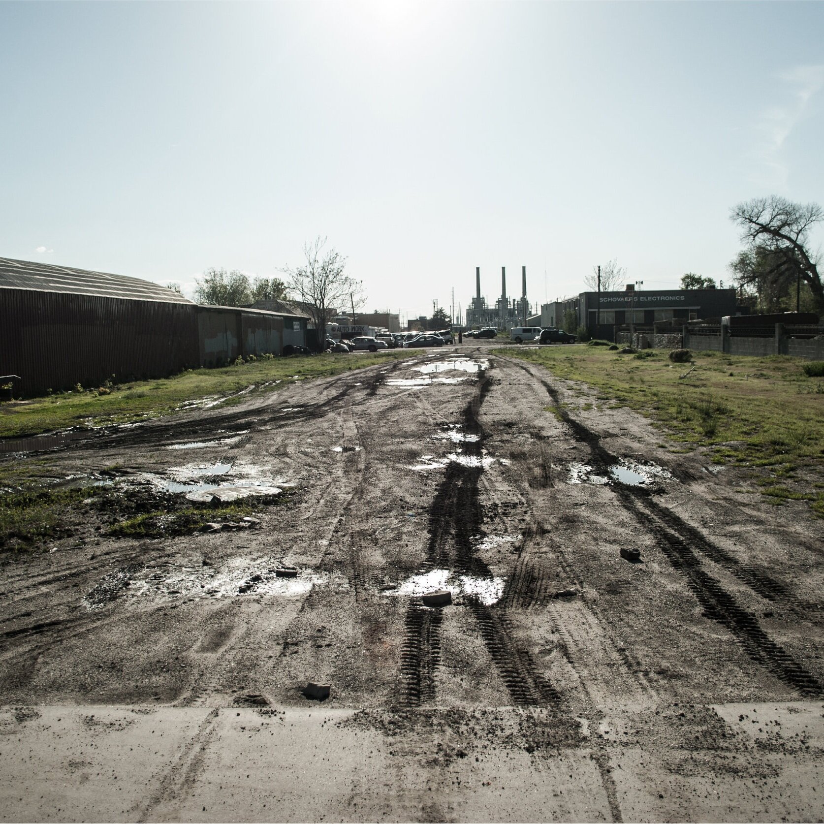
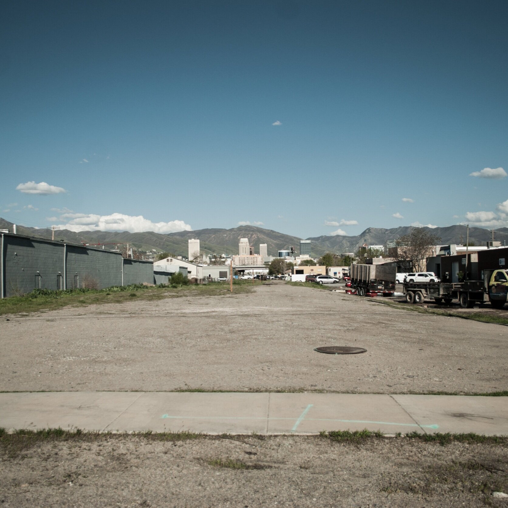
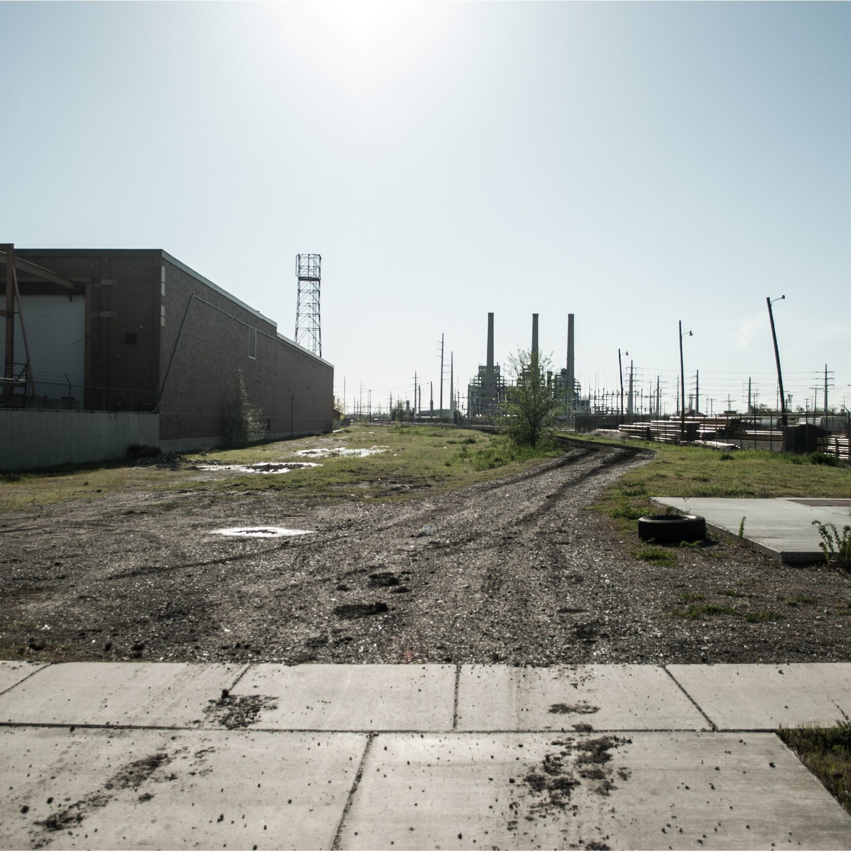
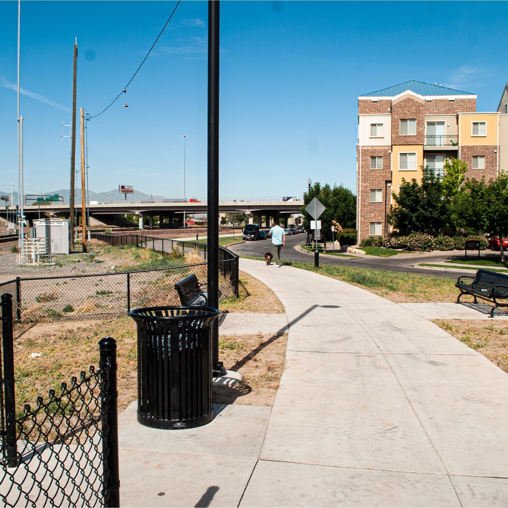
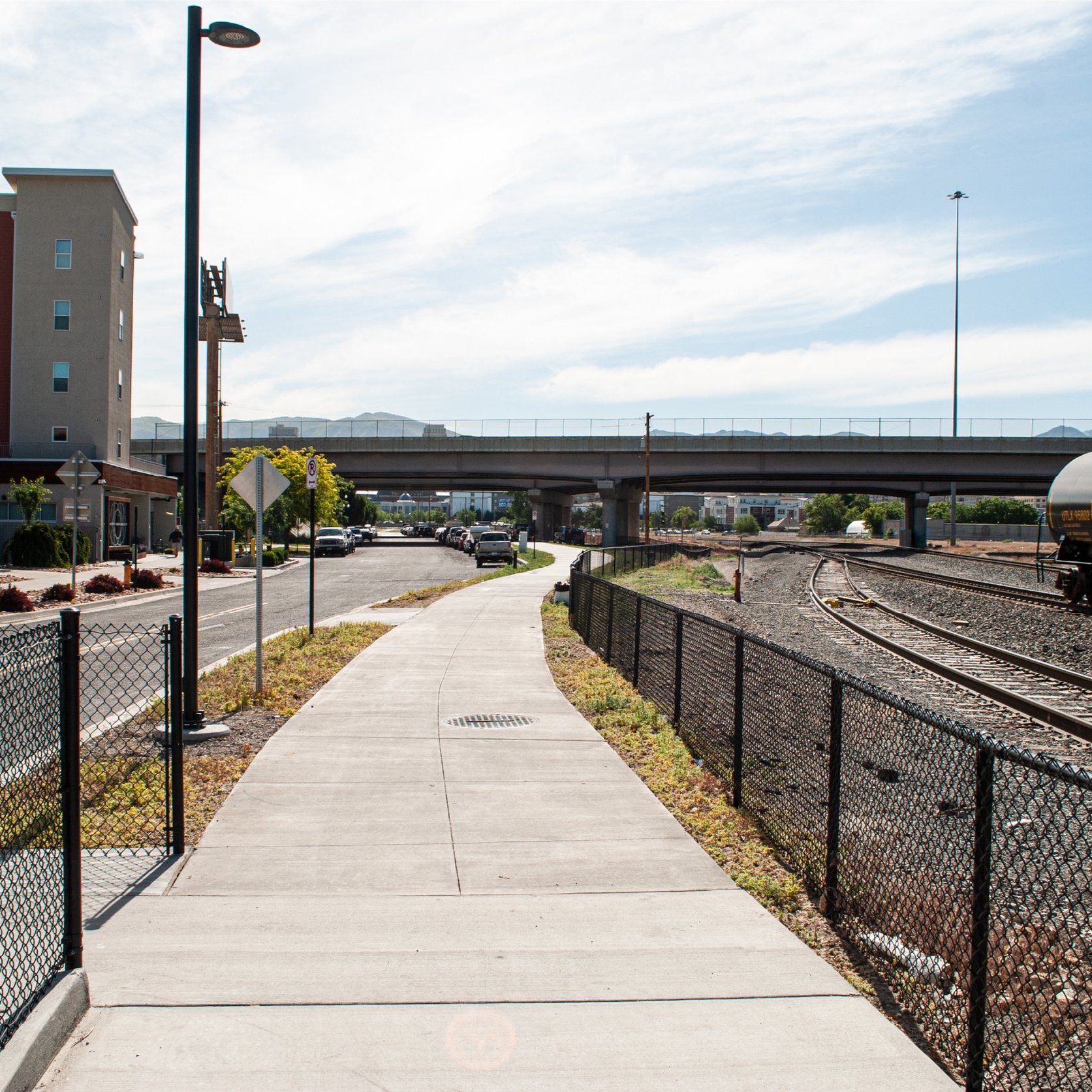
The Folsom rail line was abandoned in 2008, the tracks removed, and the corridor left neglected [01]. The Utah Power & Light/Utah Barrel Company Superfund site and contamination from industrial land-use continue to pollute the land, water, and health of the neighborhood [02]. The I-80 overpass and renewed use of the railroad separate east-west connectivity and cultural exchange. This limits mobility, decreases access to jobs, creates dangerous encounters between people, cars, and trains, and silos communities.
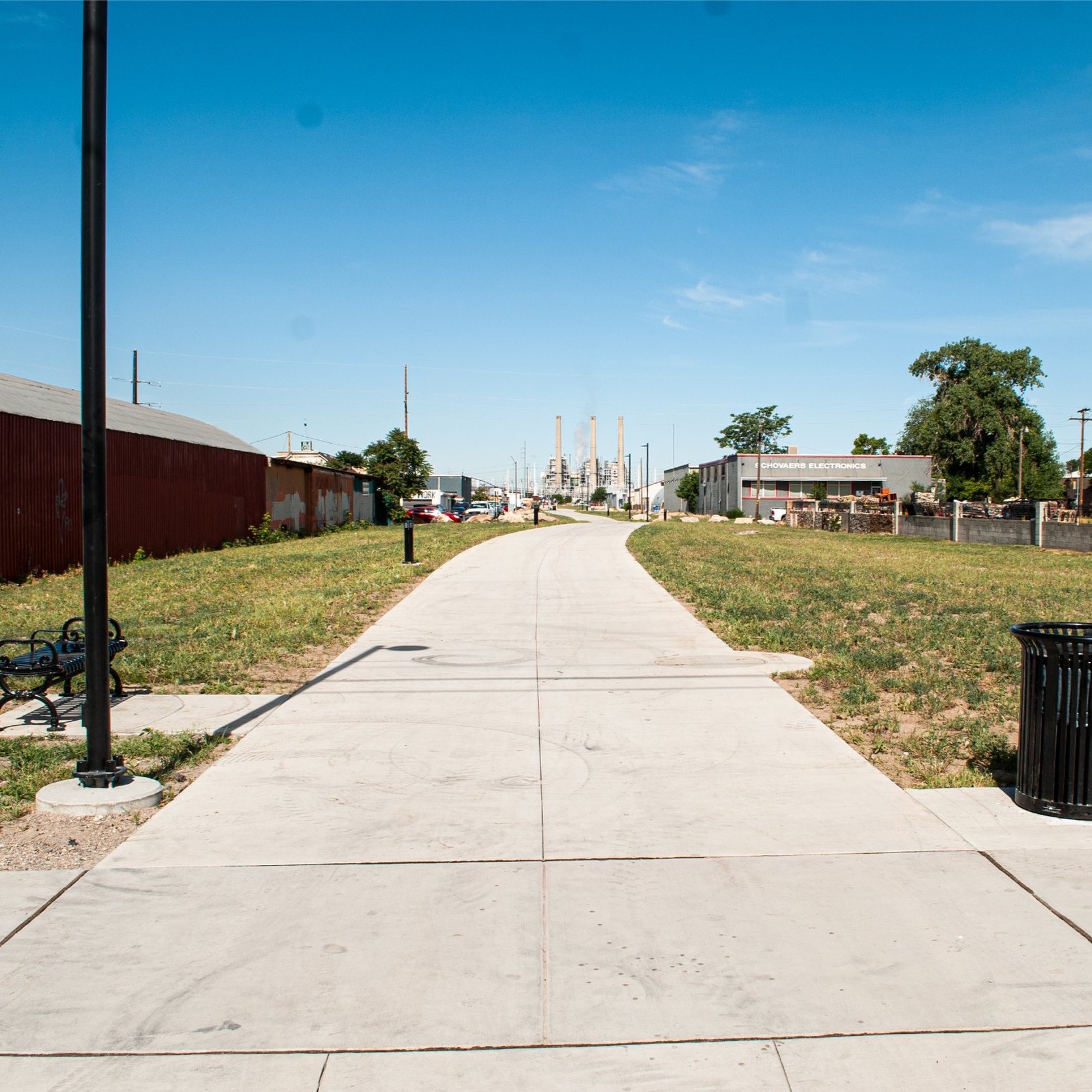
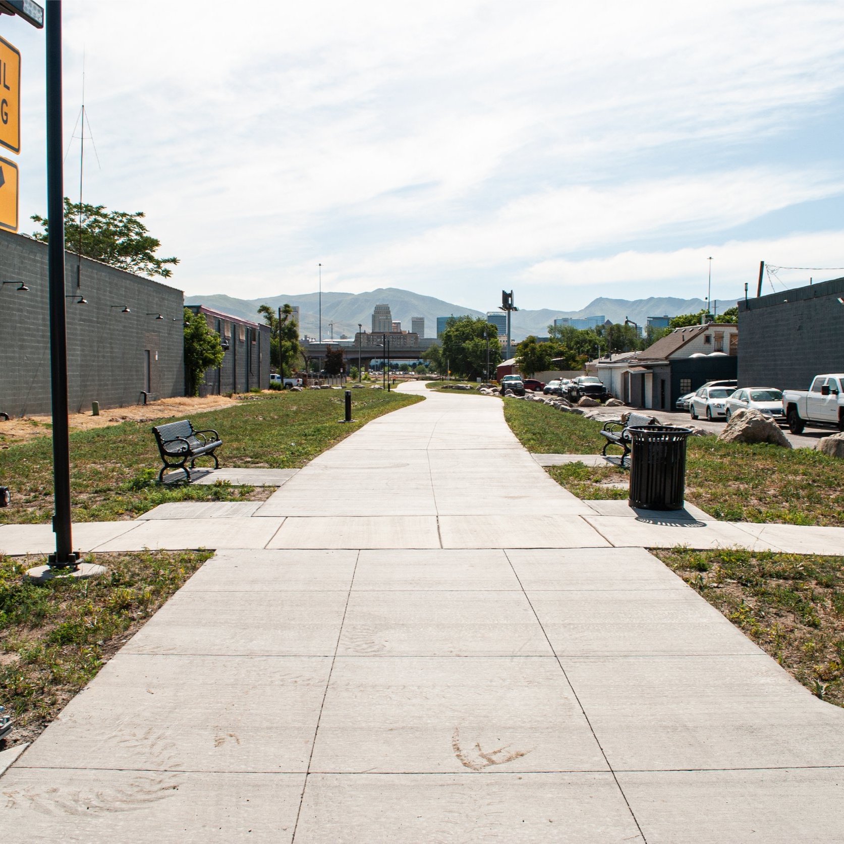
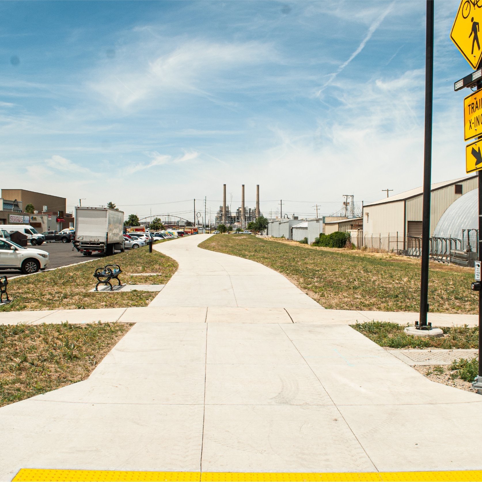
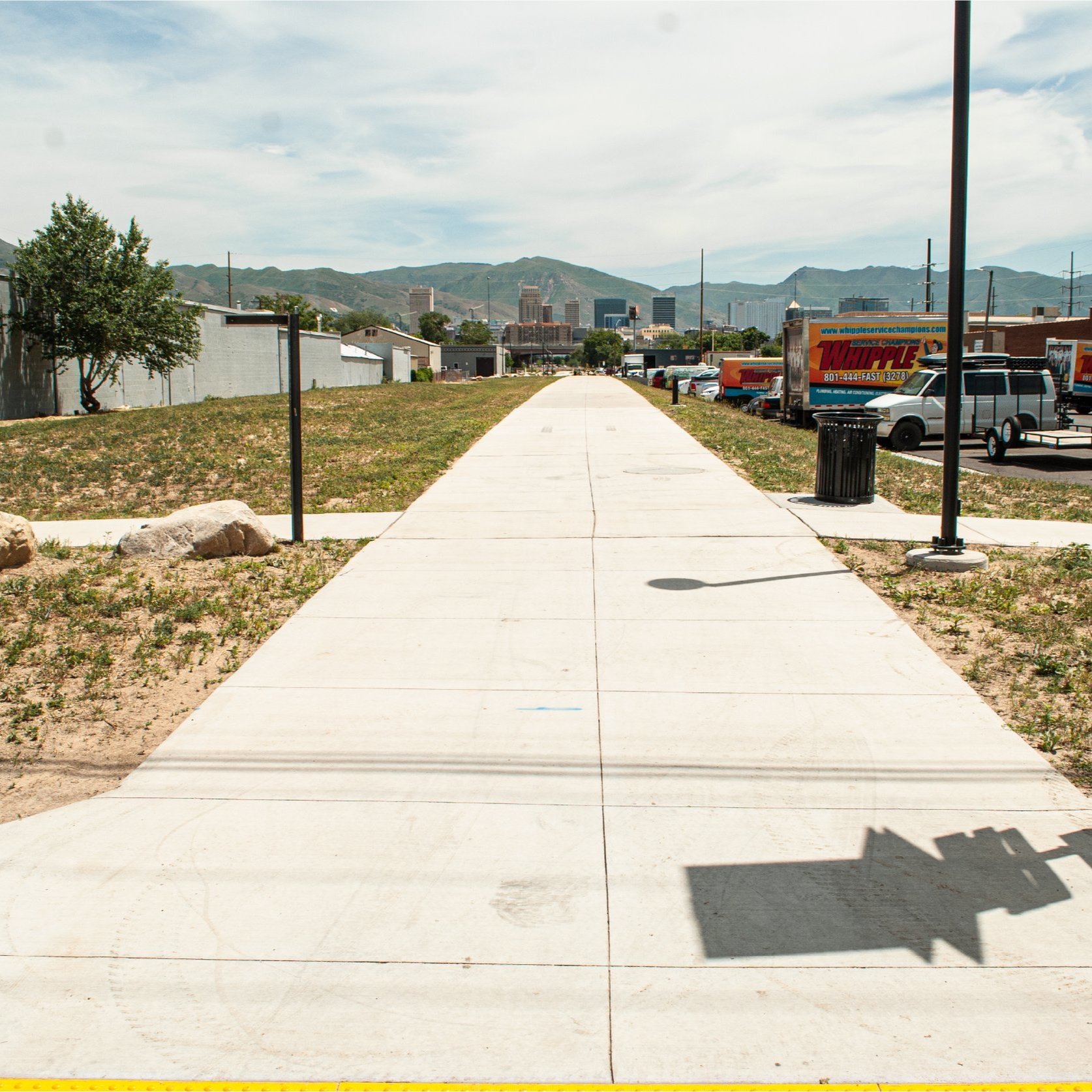
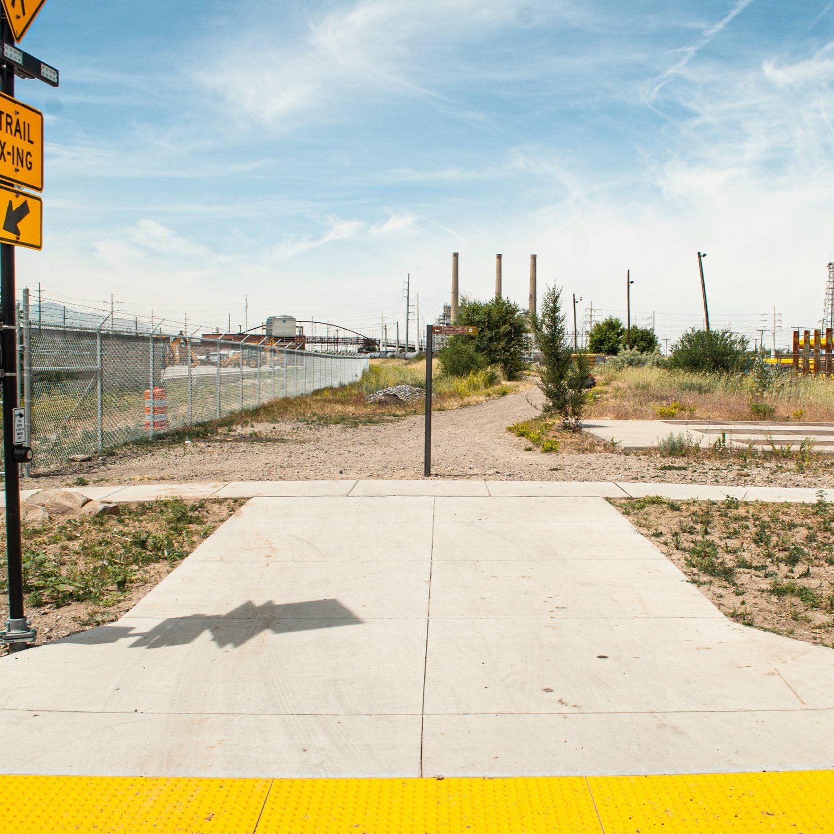
Running from the North Temple FrontRunner commuter rail station to the Jordan River Trail, the Folsom Trail creates a safe, comfortable connection for access, recreation, celebration, learning, and enjoyment. The restored City Creek will improve water quality, access to nature, and flooding. Integrated art and green space will activate the corridor. Balancing preservation and new holistic, mixed-use development will protect the character of the neighborhood, while diversifying housing, jobs, and entertainment. Click here to review the City Creek at Folsom Trail Daylighting Design Plan.
“Simply having access to water and wetlands would encourage more wildlife and have great psychological benefits. It would help connect, in a very visible way, our mountains and rivers, which I think would be a huge catalyst for further environmental protection and restoration.”
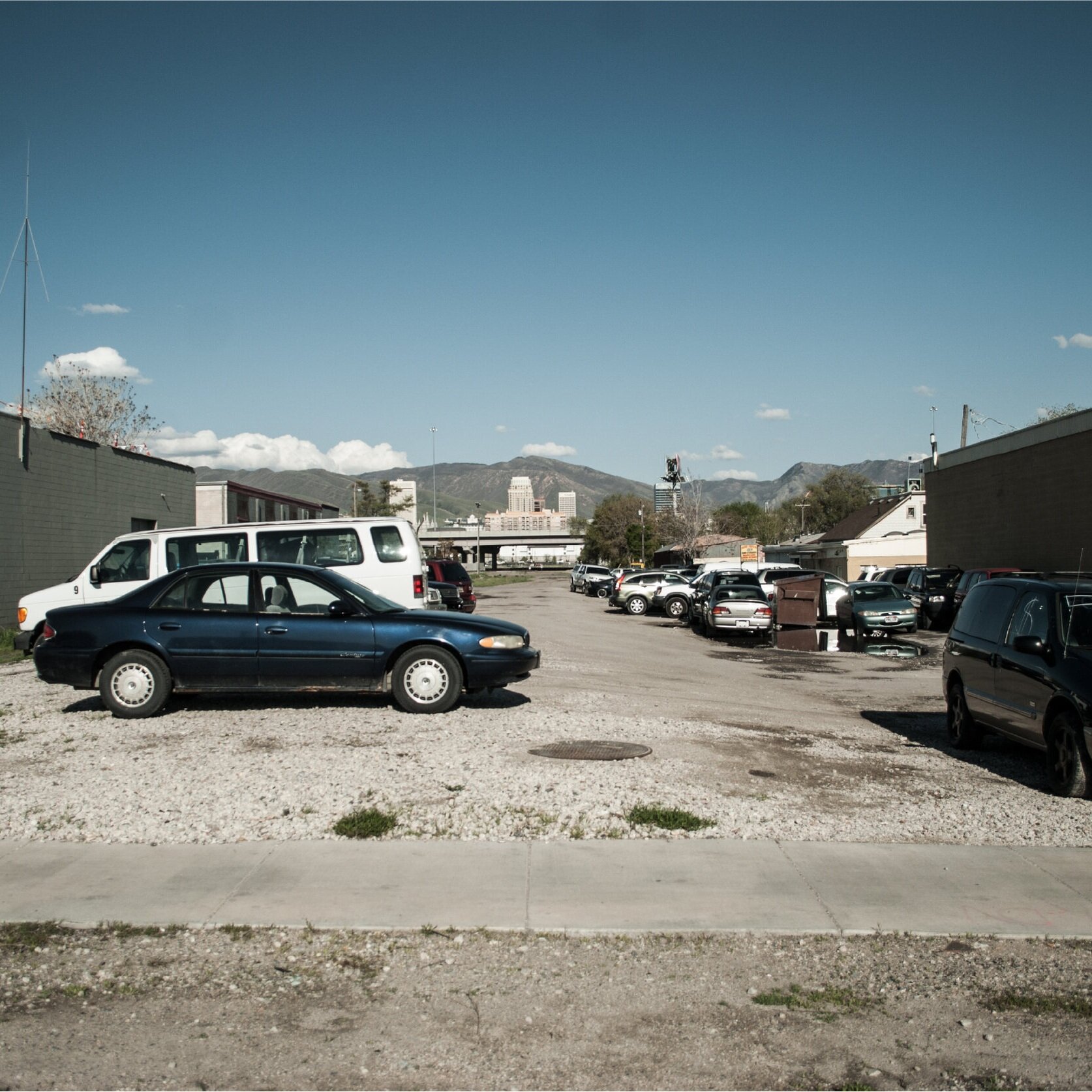
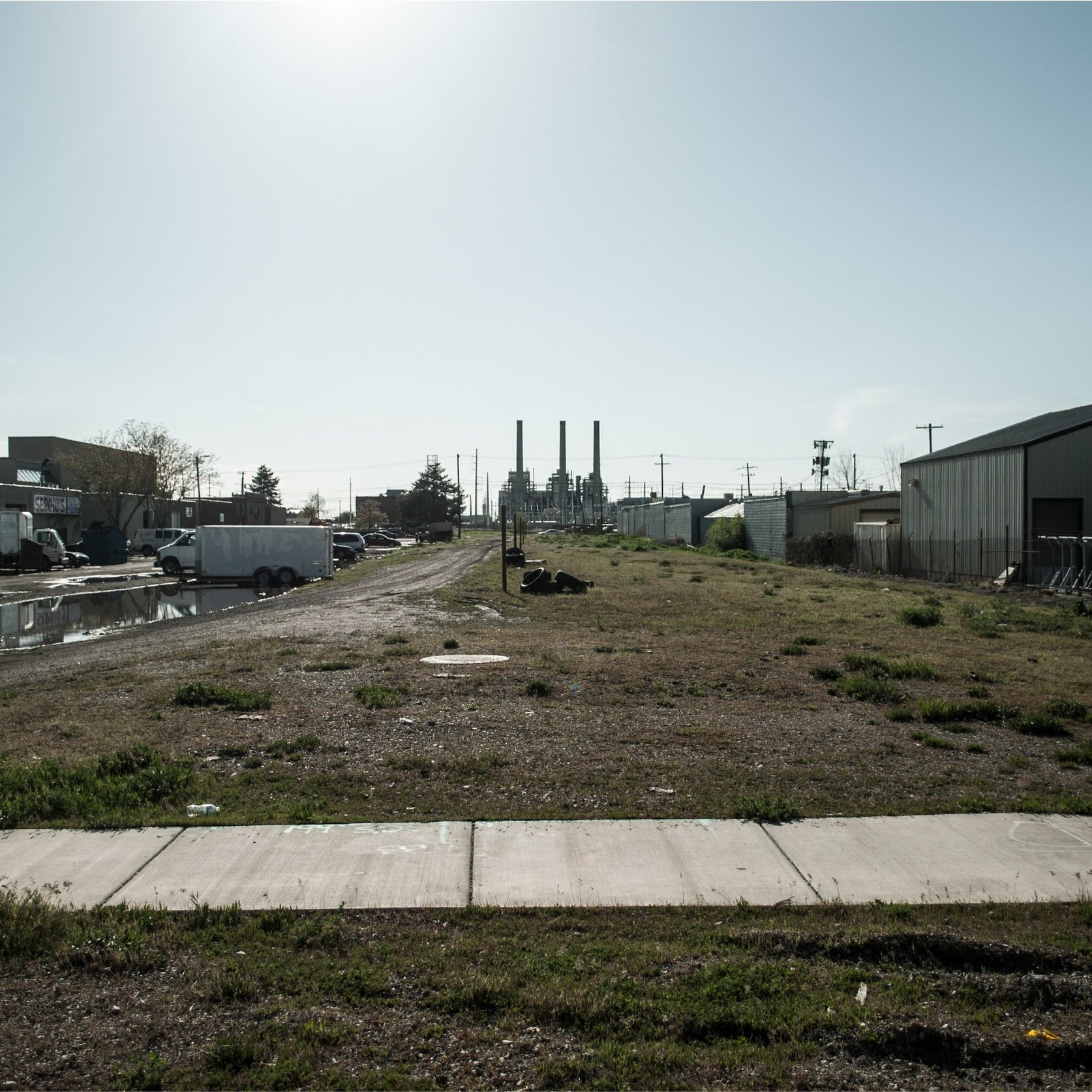
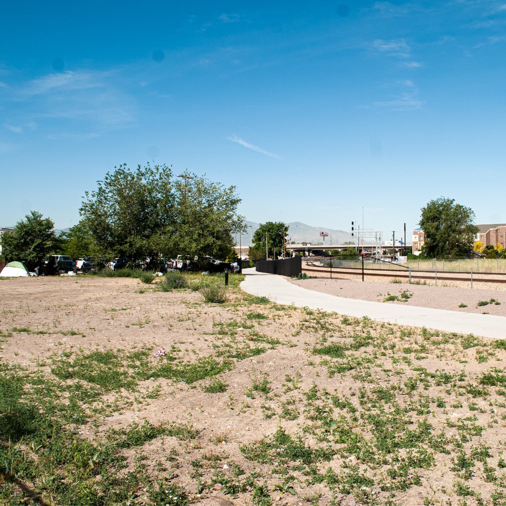
Before
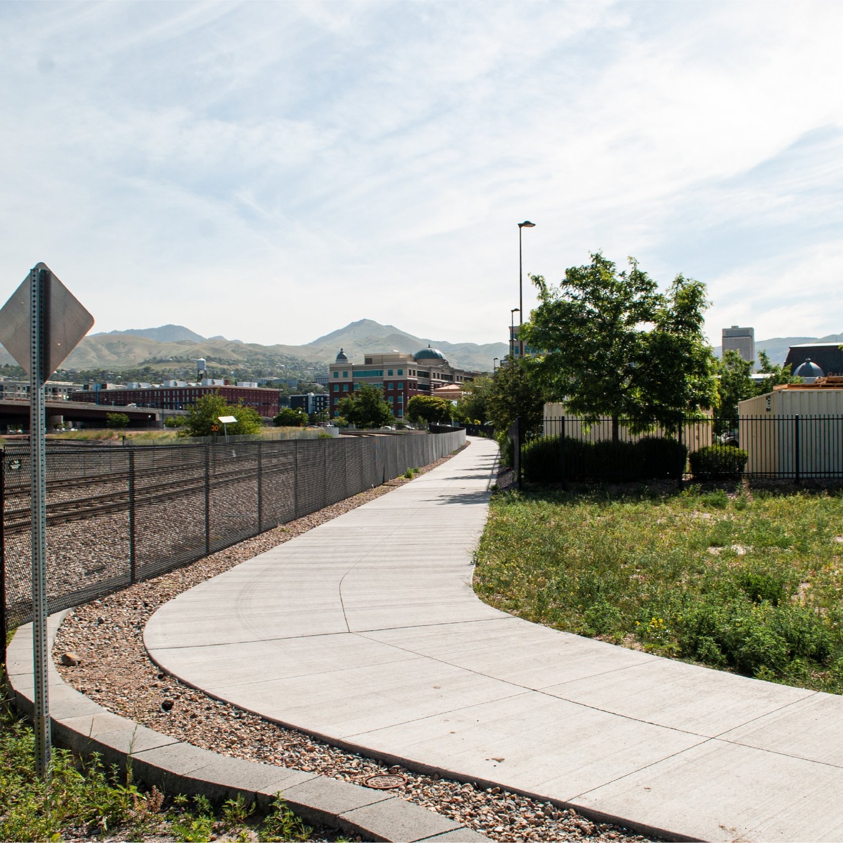
After - Trail
Goals
Create a multi-use, multi-generational, and low-stress link and gateway between regional destinations, cultural amenities, and transportation corridors;
Restore the historic City Creek corridor into a thriving green space and living laboratory to maximize ecosystem services and community connection to nature;
Retain and commemorate the unique identity of the corridor through the preservation of historic structures and placemaking;
Create a beautiful neighborhood center to support local businesses, improve employment base, and ensure all residents have access to goods, services, and entertainment; and
Celebrate the cultural diversity that reflect community values and maintain neighborhood stability to foster community pride.
Background
Since 1965’s Second Century Plan, City Creek was highlighted for daylighting through downtown Salt Lake City [03]. The 1992 Salt Lake City Open Space Plan highlighted a route that would flow from Memory Grove, through the downtown core, into what would become The Gateway, and finally through a rail corridor on its way to the Jordan River [04]. This rail corridor, the Folsom line, would gather momentum in the early 2000s for transformation into a future trail and creek corridor [05].
During the Gateway District redevelopment, the daylighting of City Creek became a major focus of the vision. The Folsom rail line was realigned and, in 2011, an overflow culvert was placed down the corridor to mitigate flooding [06]. However, the trail and daylighting project never took off. Momentum waned until the project was re-energized by the Seven Canyons Trust in 2016.
Data
Did you know City Creek flows under North Temple? [07]
Do you support daylighting here?
Updates
Sources
Salt Lake Tribune, Realigning a downtown rail line could turn a neighborhood into a no-horn haven (2006).
Environmental Protection Agency, Fourth Five-Year Report for Utah Power & Light-American Barrel Superfund Site in Salt Lake City, Utah (2016).
Downtown Planning Association, Inc., Official Report Downtown Salt Lake City Second Century Plan (1962).
Salt Lake City, Salt Lake City Open Space Plan (1992).
URS Corporation, Euclid Small Area Master Plan (2006).
J-U-B Engineers, Folsom Avenue Storm Drain Project (2011).
Westside Studio, North Temple Westside Studio Survey Results (2016).
