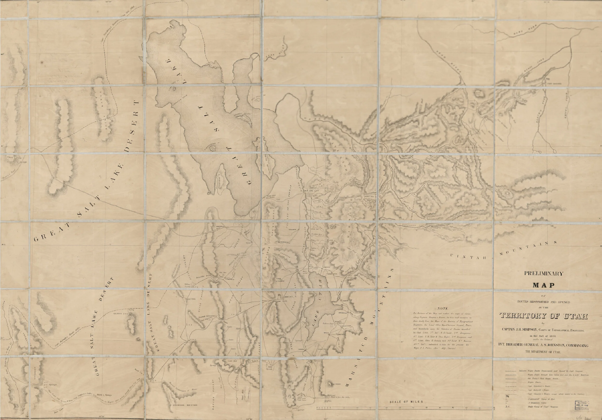
A map of the Territory of Utah from 1858. It shows the historic locations of the creeks, and some of the early pioneer camps, trails, and roads.
Read More
Looking for something specific? Search our stories, resources, plans, and more—here.
A map of the Territory of Utah from 1858. It shows the historic locations of the creeks, and some of the early pioneer camps, trails, and roads.
Read MoreA 1852 map of the Salt Lake Valley and its geological features. It shows where the creeks flowed during pioneer times and showcases the native names of our creeks.
Read MoreA map of the Salt Lake City from 1847. It features the historic locations of the City, Red Butte, Emigration, and Parleys creeks during pioneer settlement of the area.
Read More
